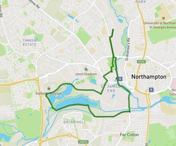
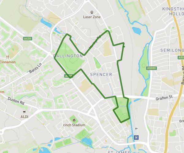
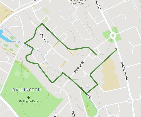
This walking route covers 3.686mi starting from Wellingborough, England. The walk does not return to the trailhead and ends near 29 The Embankment, Wellingborough, NN8 1LD, United Kingdom. This walk is rated as moderate, plan for about 1h8m to complete it. The route has an elevation gain of 200ft and an elevation loss of 295ft.
Home
Route details
18:28/mi
Pace
278 kcal
Calories burned
Point to point
Route type
141ft
Min altitude
308ft
Max altitude
Route profile
200ft
Elevation gain
295ft
Elevation loss
141ft
Min altitude
308ft
Max altitude
How to get there
Trailhead: 11 Gabriel Way, Wellingborough, NN8 6DX, United Kingdom
GPS coordinates of the trailhead: 52.32281, -0.71396 / 52°19'22'' N, 0°42'50'' W