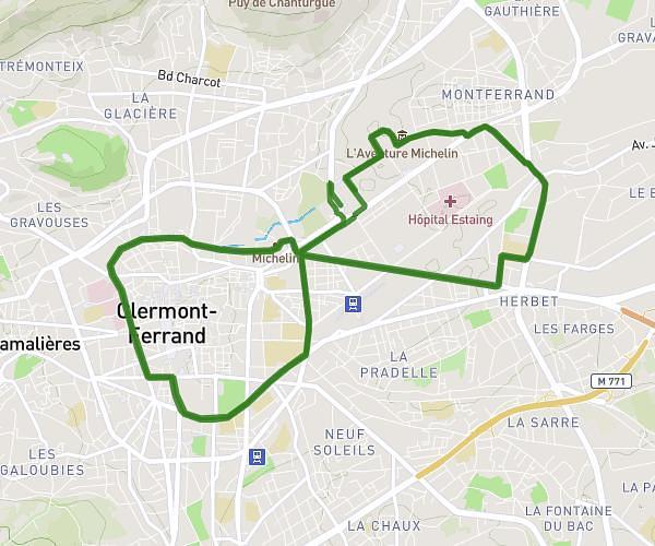
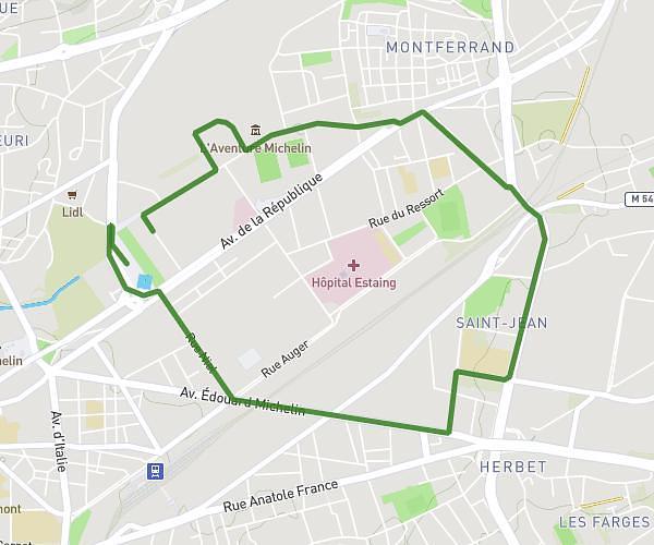
This running route covers 3.382mi starting from Clermont-Ferrand, Puy-de-Dôme. The run does not return to the trailhead and ends near Rue De Chanteranne, 63100 Clermont-Ferrand. This run is rated as easy, expect about 25m7s to complete it. The route has an elevation gain of 151ft and an elevation loss of 144ft.
Clermontoise
Route details
8.08mph
Speed
287 kcal
Calories burned
Point to point
Route type
1122ft
Min altitude
1168ft
Max altitude
Route profile
151ft
Elevation gain
144ft
Elevation loss
1122ft
Min altitude
1168ft
Max altitude
How to get there
Trailhead: Rue Entre Les Deux Villes, 63100 Clermont-Ferrand
GPS coordinates of the trailhead: 45.78657, 3.10094 / 45°47'11'' N, 3°6'3'' E