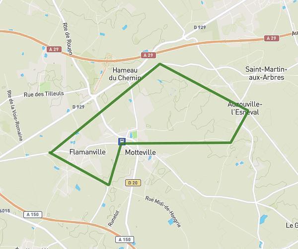
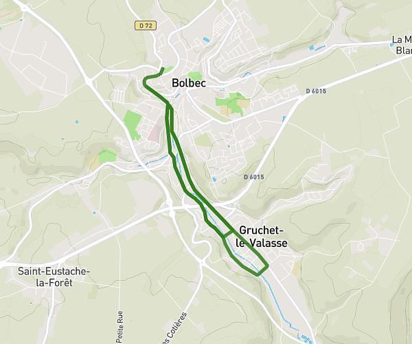
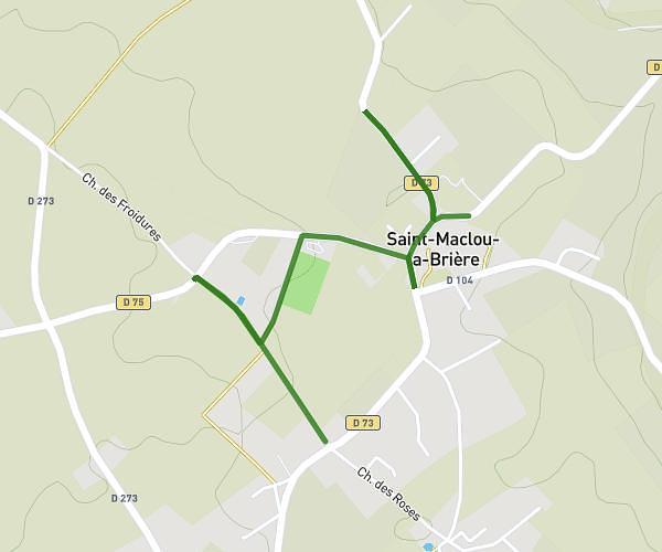
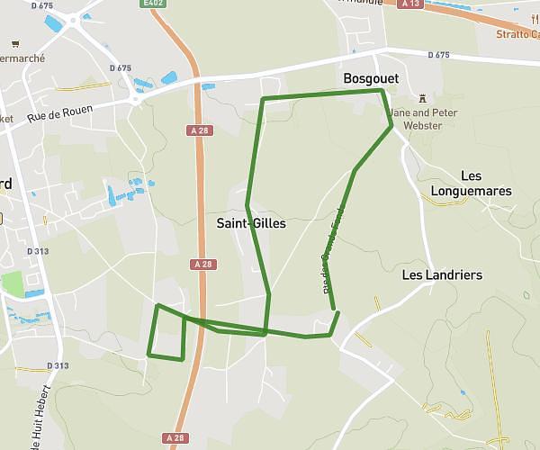
This running route covers 7.418mi starting from Port-Jérôme-sur-Seine, Seine-Maritime. The run is a loop trail and returns to the trailhead. This run is rated as moderate, expect about 1h2m to complete it. The route has an elevation gain of 249ft and an elevation loss of 282ft.
Test LH
Route details
7.18mph
Speed
709 kcal
Calories burned
Loop trail
Route type
135ft
Min altitude
417ft
Max altitude
Route profile
249ft
Elevation gain
282ft
Elevation loss
135ft
Min altitude
417ft
Max altitude
How to get there
Trailhead: 11 Rue De Milan, 76330 Port-Jérôme-sur-Seine, France
GPS coordinates of the trailhead: 49.48868, 0.59132 / 49°29'19'' N, 0°35'28'' E