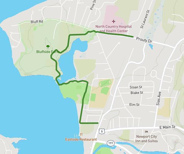
This cycling route covers 14.577mi starting from Magog, Quebec. The ride is a loop trail and returns to the trailhead. This route is rated as easy, plan for about 1h3m to complete it. The route has an elevation gain of 89ft and an elevation loss of 69ft.
Tour du lac Lovering
Route details
561 kcal
Calories burned
0.2%
Avg grade
Loop trail
Route type
807ft
Min altitude
886ft
Max altitude
Route profile
89ft
Elevation gain
69ft
Elevation loss
807ft
Min altitude
886ft
Max altitude
How to get there
Trailhead: 223 Grande Allée, Magog, Quebec J1X 0M6, Canada
GPS coordinates of the trailhead: 45.18201, -72.16925 / 45°10'55'' N, 72°10'9'' W