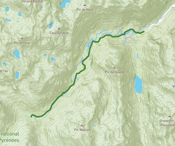
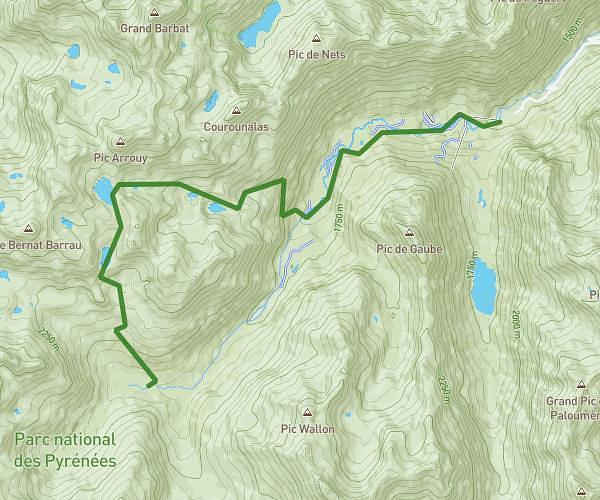
This hiking trail covers 5.525mi starting from Torla-Ordesa, Huesca. The hike does not return to the trailhead and ends near A-135, 22376 Torla-Ordesa, Huesca, Spain. This hike is rated as hard, plan for about 2h29m to complete it. The route has an elevation gain of 1316ft and an elevation loss of 2169ft.
Cola de caballo
Route details
2.22mph
Speed
1121 kcal
Calories burned
11.9%
Avg grade
Point to point
Route type
5039ft
Min altitude
6165ft
Max altitude
Steep climb
Route profile
1316ft
Elevation gain
2169ft
Elevation loss
5039ft
Min altitude
6165ft
Max altitude
How to get there
Trailhead: 22376, Torla-Ordesa, Huesca, Spain
GPS coordinates of the trailhead: 42.650926, 0.015427 / 42°39'3'' N, 0°0'55'' E