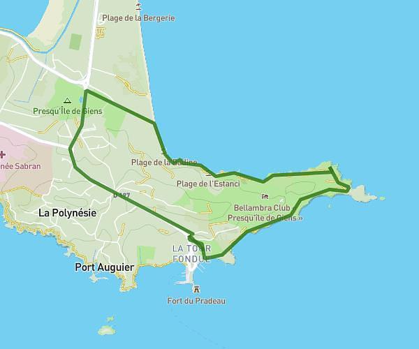
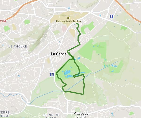
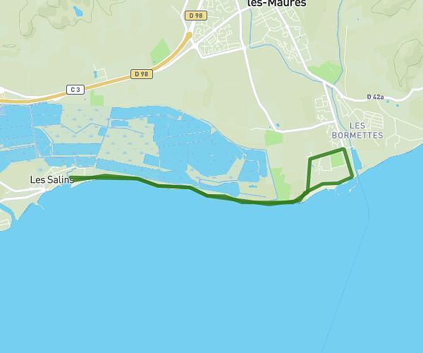
This running route covers 12.129mi starting from Toulon, Var. The run does not return to the trailhead and ends near 2759 Route De L'almanarre, 83400 Hyères, France. This run is rated as strenuous, expect about 3h to complete it. The route has an elevation gain of 82ft and an elevation loss of 259ft.
toulon hyeres
Route details
4.05mph
Speed
2058 kcal
Calories burned
Point to point
Route type
13ft
Min altitude
190ft
Max altitude
Route profile
82ft
Elevation gain
259ft
Elevation loss
13ft
Min altitude
190ft
Max altitude
How to get there
Trailhead: Rond-Point De L'appel Du 18 Juin, 83000 Toulon, France
GPS coordinates of the trailhead: 43.10811, 5.95266 / 43°6'29'' N, 5°57'9'' E