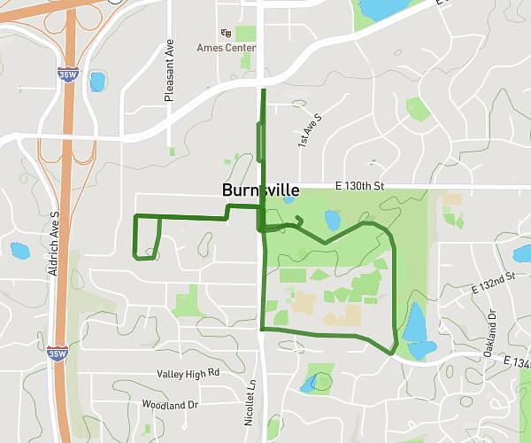
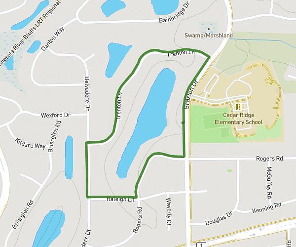
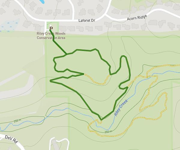
This walking route covers 0.654mi starting from Eagan, Minnesota. The walk is a loop trail and returns to the trailhead. This walk is rated as easy, plan for about 14m to complete it. The route has an elevation gain of 52ft and an elevation loss of 46ft.
Before work walk
Route details
21:25/mi
Pace
57 kcal
Calories burned
Loop trail
Route type
853ft
Min altitude
886ft
Max altitude
Route profile
52ft
Elevation gain
46ft
Elevation loss
853ft
Min altitude
886ft
Max altitude
How to get there
Trailhead: Central Parkway, 55121 Eagan
GPS coordinates of the trailhead: 44.83732, -93.17143 / 44°50'14'' N, 93°10'17'' W