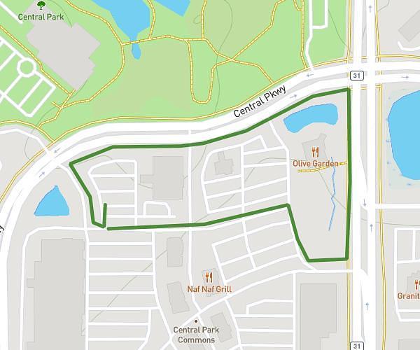
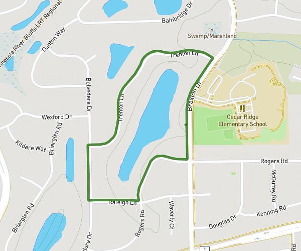
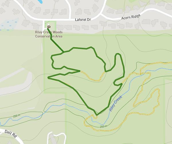
This walking route covers 4.092mi starting from Burnsville, Minnesota. The walk does not return to the trailhead and ends near Civic Center Parkway, 55337 Burnsville. This walk is rated as moderate, plan for about 1h to complete it. The route has an elevation gain of 295ft and an elevation loss of 295ft.
Bv walk 5/11
Route details
14:39/mi
Pace
245 kcal
Calories burned
Point to point
Route type
925ft
Min altitude
1010ft
Max altitude
Route profile
295ft
Elevation gain
295ft
Elevation loss
925ft
Min altitude
1010ft
Max altitude
How to get there
Trailhead: Grand Avenue, 55337 Burnsville
GPS coordinates of the trailhead: 44.76531, -93.28479 / 44°45'55'' N, 93°17'5'' W