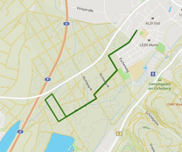
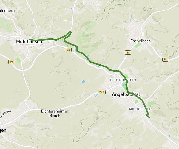
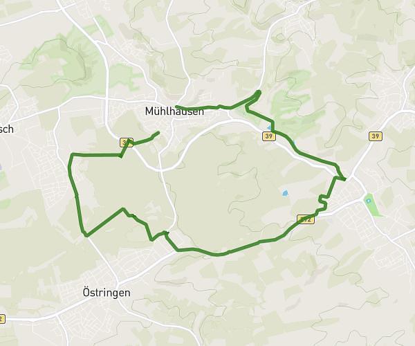
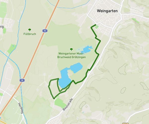
This running route covers 3.981mi starting from Bruchsal, Baden-Württemberg. The run is a loop trail and returns to the trailhead. This run is rated as easy, expect about 42m42s to complete it. The route has an elevation gain of 164ft and an elevation loss of 161ft.
6,4km
Route details
5.59mph
Speed
488 kcal
Calories burned
Loop trail
Route type
364ft
Min altitude
397ft
Max altitude
Route profile
164ft
Elevation gain
161ft
Elevation loss
364ft
Min altitude
397ft
Max altitude
How to get there
Trailhead: Josef-Heid-Straße 17, 76646 Bruchsal, Germany
GPS coordinates of the trailhead: 49.117721, 8.56999 / 49°7'3'' N, 8°34'11'' E