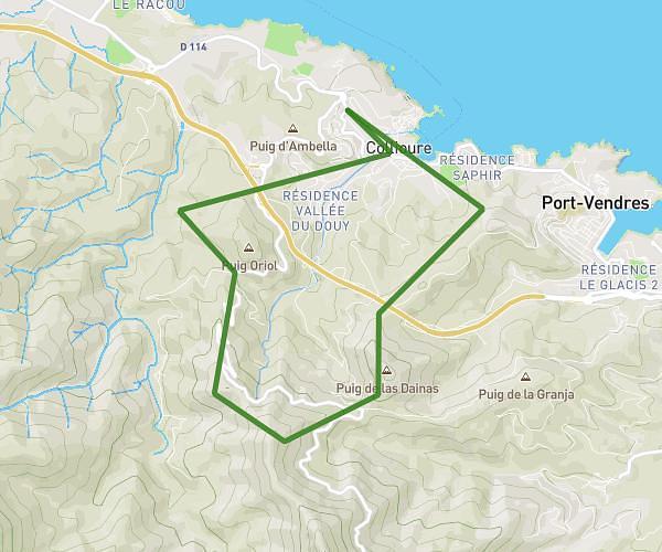
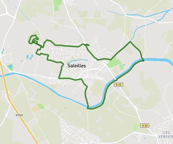
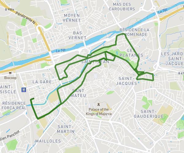
This running route covers 0.973mi starting from Le Boulou, Pyrénées-Orientales. The run does not return to the trailhead and ends near Piste Dfci Al 3, 66160 Le Boulou, France. This run is rated as easy, expect about 9m23s to complete it. The route has an elevation gain of 299ft and an elevation loss of 89ft.
EEA
Route details
6.21mph
Speed
107 kcal
Calories burned
Point to point
Route type
269ft
Min altitude
479ft
Max altitude
Route profile
299ft
Elevation gain
89ft
Elevation loss
269ft
Min altitude
479ft
Max altitude
How to get there
Trailhead: 11 Rue De La Lavande, 66160 Le Boulou, France
GPS coordinates of the trailhead: 42.51965, 2.84477 / 42°31'10'' N, 2°50'41'' E