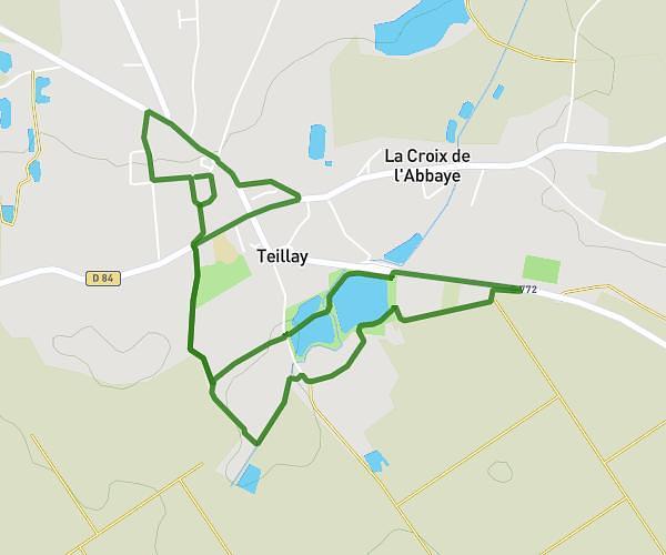
This running route covers 4.249mi starting from Teillay, Ille-et-Vilaine. The run does not return to the trailhead and ends near Rue De La Chapelle Saint-Eustache, 35620 Teillay, France. This run is rated as easy, expect about 58m36s to complete it. The route has an elevation gain of 36ft and an elevation loss of 98ft.
Dimanche
Route details
4.35mph
Speed
670 kcal
Calories burned
Point to point
Route type
197ft
Min altitude
295ft
Max altitude
Route profile
36ft
Elevation gain
98ft
Elevation loss
197ft
Min altitude
295ft
Max altitude
How to get there
Trailhead: 3 Impasse Des Grands Prés, 35620 Teillay, France
GPS coordinates of the trailhead: 47.807901, -1.541142 / 47°48'28'' N, 1°32'28'' W