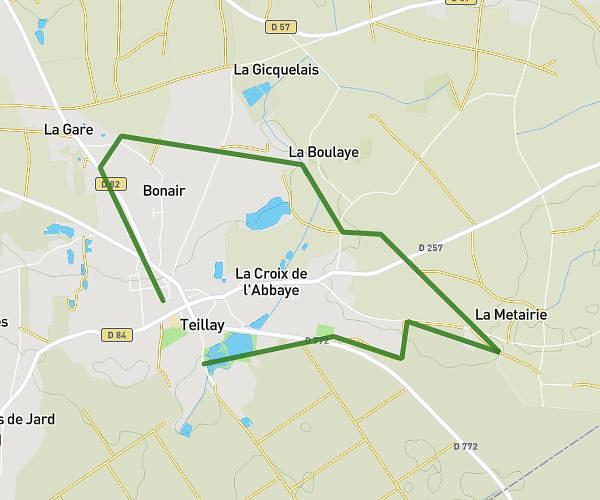
This running route covers 9.143mi starting from Guipry-Messac, Ille-et-Vilaine. The run is a loop trail and returns to the trailhead. This run is rated as hard, expect about 1h38m to complete it. The route has an elevation gain of 92ft and an elevation loss of 72ft.
Course yannis
Route details
5.59mph
Speed
1122 kcal
Calories burned
Loop trail
Route type
43ft
Min altitude
135ft
Max altitude
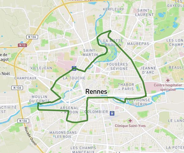
Route profile
92ft
Elevation gain
72ft
Elevation loss
43ft
Min altitude
135ft
Max altitude
How to get there
Trailhead: 13 Rue Jules Verne, 35480 Guipry-Messac, France
GPS coordinates of the trailhead: 47.822777, -1.843142 / 47°49'21'' N, 1°50'35'' W