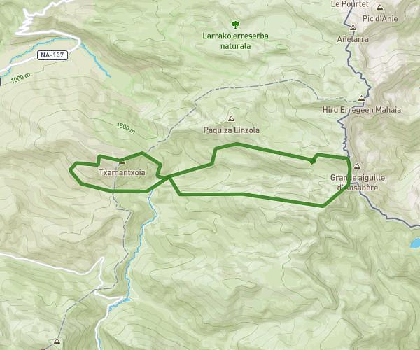
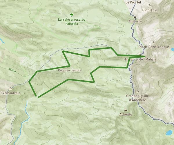
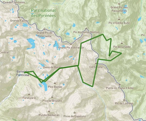
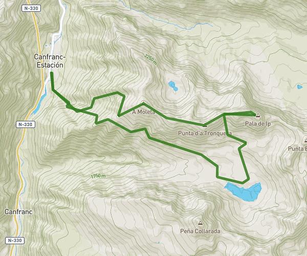
This running route covers 9.687mi starting from Laruns, Pyrénées-Atlantiques. The run is a loop trail and returns to the trailhead. This run is rated as hard, expect about 1h44m to complete it. The route has an elevation gain of 2743ft and an elevation loss of 2759ft.
Lacs Ayous
Route details
5.59mph
Speed
1189 kcal
Calories burned
Loop trail
Route type
4318ft
Min altitude
6864ft
Max altitude
Route profile
2743ft
Elevation gain
2759ft
Elevation loss
4318ft
Min altitude
6864ft
Max altitude
How to get there
Trailhead: Route De Bious Artigues, 64440 Laruns, France
GPS coordinates of the trailhead: 42.871062, -0.450001 / 42°52'15'' N, 0°27'0'' W