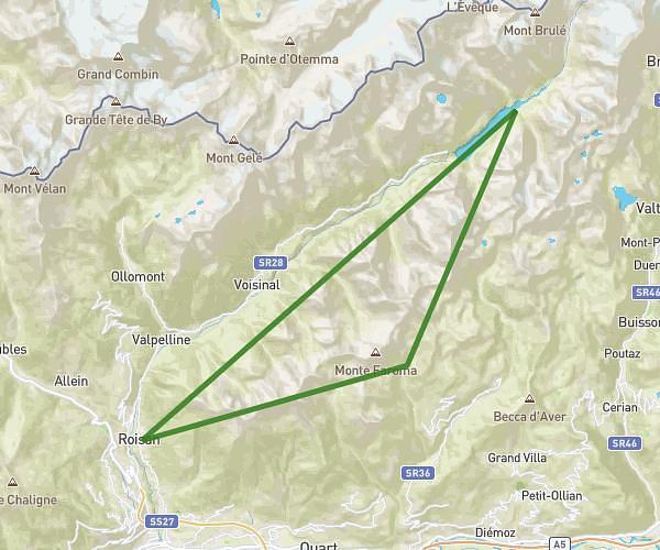
Explore this running route of 57.52km starting from Roisan, Aosta Valley. The run does not return to the starting point and ends near Via Carrel, 11021 Valtournenche. This run has no defined difficulty level, expect about 15h45m to complete it.
Roisan cervinia
Route details
How to get there
Route starting point: Frazione Champvillair Dessus, 11010 Roisan
GPS coordinates of the starting point: 45.78424, 7.31446 / 45°47'3'' N, 7°18'52'' E
Calculate the time to reach the starting point from your location or an address