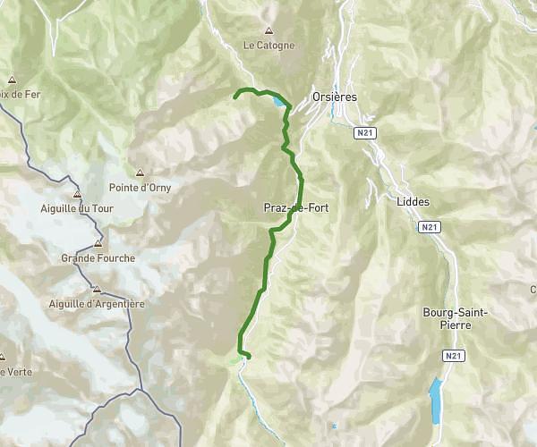
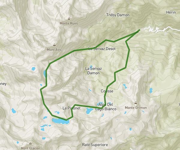
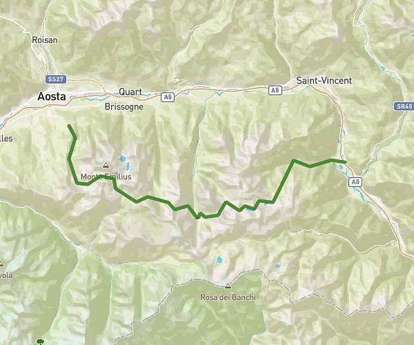
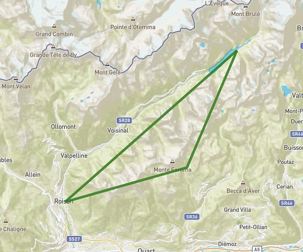
This running route covers 55.012mi starting from Roisan, Aosta Valley. The run is a loop trail and returns to the trailhead. This run is rated as strenuous, expect about 23h58m to complete it. The route has an elevation gain of 4482ft and an elevation loss of 4209ft.
Xl2 valpelline
Route details
2.29mph
Speed
16441 kcal
Calories burned
Loop trail
Route type
4239ft
Min altitude
8077ft
Max altitude
Route profile
4482ft
Elevation gain
4209ft
Elevation loss
4239ft
Min altitude
8077ft
Max altitude
How to get there
Trailhead: Frazione Champvillair Dessus 17, 11010 Roisan Aosta Valley, Italy
GPS coordinates of the trailhead: 45.78432, 7.3144 / 45°47'3'' N, 7°18'51'' E