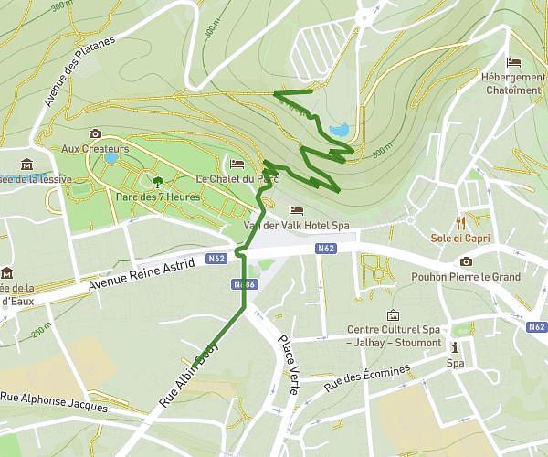
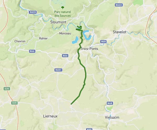
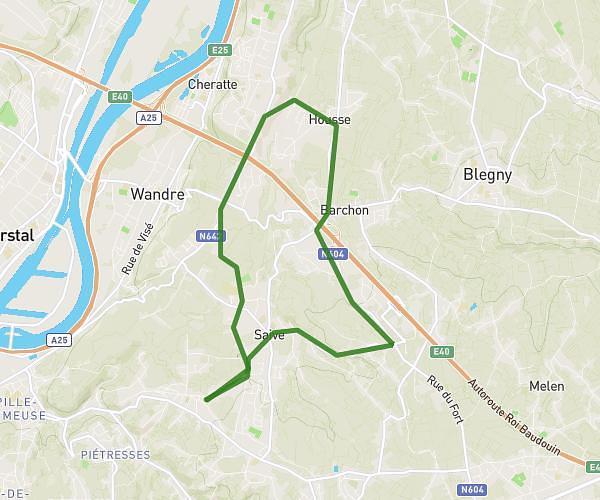
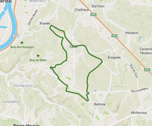
This walking route covers 4.799mi starting from Beyne-Heusay, Liege. The walk is a loop trail and returns to the trailhead. This walk is rated as moderate, plan for about 2h3s to complete it. The route has an elevation gain of 427ft and an elevation loss of 423ft.
Sergio 1
Route details
25:01/mi
Pace
490 kcal
Calories burned
Loop trail
Route type
443ft
Min altitude
653ft
Max altitude
Route profile
427ft
Elevation gain
423ft
Elevation loss
443ft
Min altitude
653ft
Max altitude
How to get there
Trailhead: Rue De La Chenaie 23, 4610 Beyne-Heusay, Liege, Belgium
GPS coordinates of the trailhead: 50.64441, 5.66942 / 50°38'39'' N, 5°40'9'' E