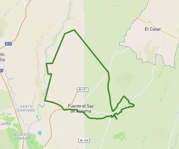
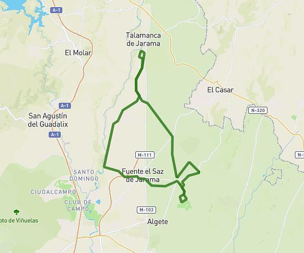
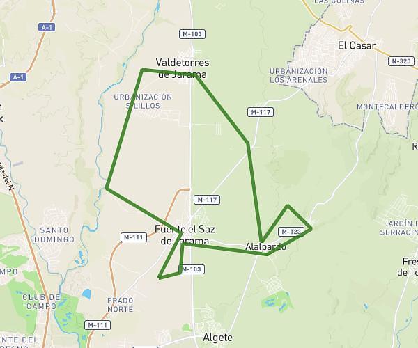
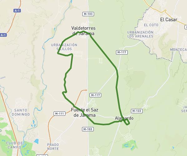
This cycling route covers 20.045mi starting from Valdeolmos-Alalpardo, Madrid. The ride does not return to the trailhead and ends near Calle Alondara 38, 28815 Fresno de Torote, Madrid, Spain. This route is rated as moderate, plan for about 2h1m to complete it. The route has an elevation gain of 617ft and an elevation loss of 207ft.
25 km
Route details
1067 kcal
Calories burned
0.8%
Avg grade
Point to point
Route type
2024ft
Min altitude
2641ft
Max altitude
Route profile
617ft
Elevation gain
207ft
Elevation loss
2024ft
Min altitude
2641ft
Max altitude
How to get there
Trailhead: Calle Alcalá 23d, 28130 Valdeolmos-Alalpardo, Madrid, Spain
GPS coordinates of the trailhead: 40.626765, -3.473268 / 40°37'36'' N, 3°28'23'' W