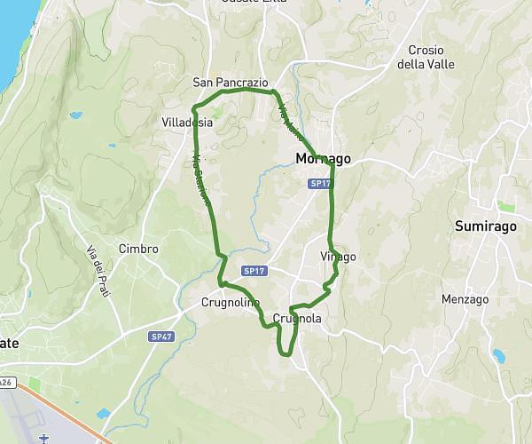
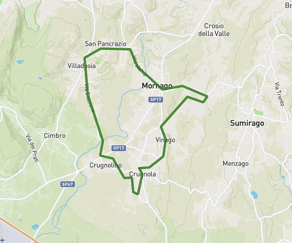
This cycling route covers 1.269mi starting from Baveno, Verbano-Cusio-Ossola. The ride does not return to the trailhead and ends near Via Due Riviere 130, 28831 Baveno Verbano-Cusio-Ossola, Italy. This route is rated as easy, plan for about 27m13s to complete it. The route has an elevation gain of 495ft and an elevation loss of 36ft.
ba-loi
Route details
262 kcal
Calories burned
7.9%
Avg grade
Point to point
Route type
659ft
Min altitude
1119ft
Max altitude
Steep climb
Route profile
495ft
Elevation gain
36ft
Elevation loss
659ft
Min altitude
1119ft
Max altitude
How to get there
Trailhead: Via Monte Grappa 1, 28831 Baveno Verbano-Cusio-Ossola, Italy
GPS coordinates of the trailhead: 45.908326, 8.505407 / 45°54'29'' N, 8°30'19'' E