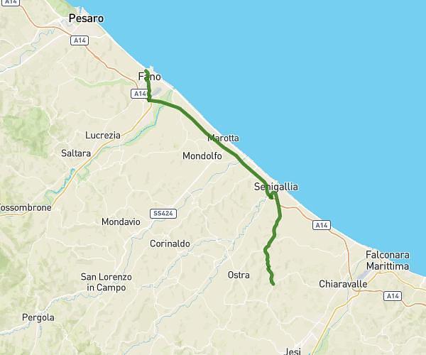
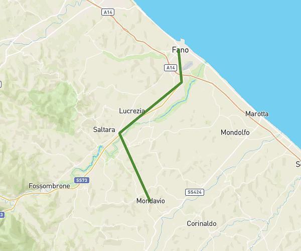
This cycling route covers 15.326mi starting from Fano, Pesaro and Urbino. The ride does not return to the trailhead and ends near Via Della Circonvallazione 2, 61040 Mondavio Pesaro and Urbino, Italy. This route is rated as strenuous, plan for about 5h28m to complete it. The route has an elevation gain of 1719ft and an elevation loss of 869ft.
Fa-Mon-plan
Route details
2959 kcal
Calories burned
3.2%
Avg grade
Point to point
Route type
39ft
Min altitude
896ft
Max altitude
Route profile
1719ft
Elevation gain
869ft
Elevation loss
39ft
Min altitude
896ft
Max altitude
How to get there
Trailhead: Via Di Villa Tombari 10, 61032 Fano Pesaro and Urbino, Italy
GPS coordinates of the trailhead: 43.843768, 13.006104 / 43°50'37'' N, 13°0'21'' E