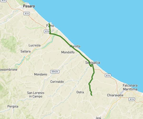
This cycling route covers 17.476mi starting from Fano, Pesaro and Urbino. The ride does not return to the trailhead and ends near Borgo Antonio Gramsci 27, 61040 Mondavio Pesaro and Urbino, Italy. This route is rated as hard, plan for about 45m56s to complete it. The route has an elevation gain of 1650ft and an elevation loss of 820ft.
Fa-Mon-plangpx
Route details
412 kcal
Calories burned
2.7%
Avg grade
Point to point
Route type
39ft
Min altitude
886ft
Max altitude
Route profile
1650ft
Elevation gain
820ft
Elevation loss
39ft
Min altitude
886ft
Max altitude
How to get there
Trailhead: Viale John Fitzgerald Kennedy 2, 61032 Fano Pesaro and Urbino, Italy
GPS coordinates of the trailhead: 43.841979, 13.012184 / 43°50'31'' N, 13°0'43'' E