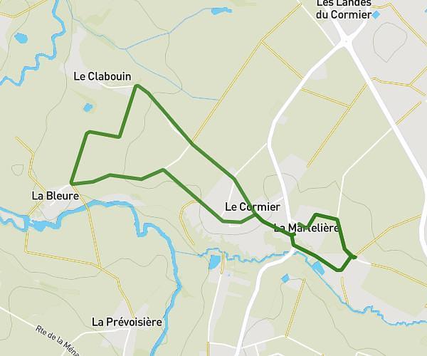
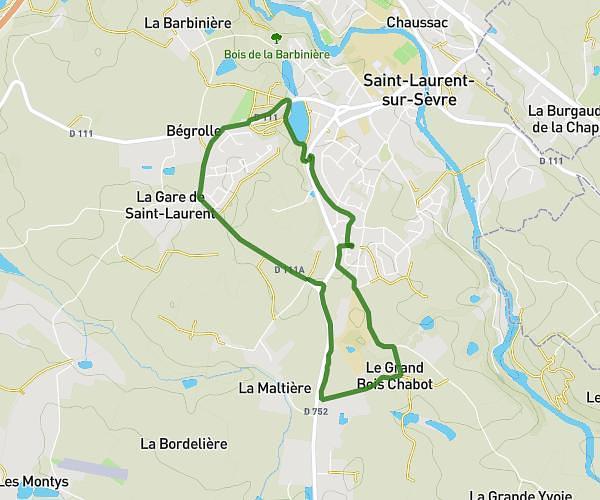
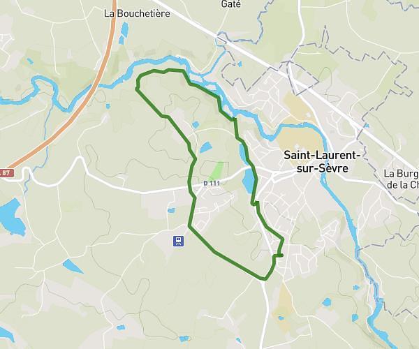
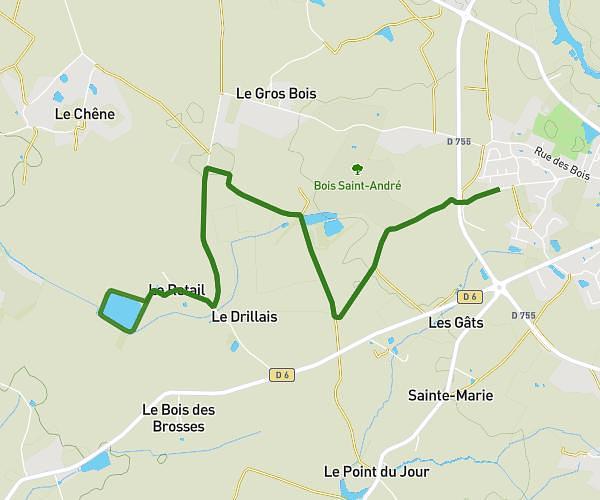
This running route covers 10.636mi starting from Saint-Prouant, Vendée. The run is a loop trail and returns to the trailhead. This run is rated as hard, expect about 1h43m to complete it. The route has an elevation gain of 833ft and an elevation loss of 830ft.
Run and bike foot
Route details
6.2mph
Speed
1178 kcal
Calories burned
Loop trail
Route type
164ft
Min altitude
361ft
Max altitude
Route profile
833ft
Elevation gain
830ft
Elevation loss
164ft
Min altitude
361ft
Max altitude
How to get there
Trailhead: 36 Rue De La Chênaie, 85110 Saint-Prouant, France
GPS coordinates of the trailhead: 46.76247, -0.95624 / 46°45'44'' N, 0°57'22'' W