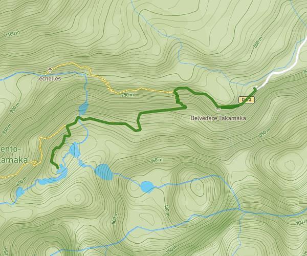
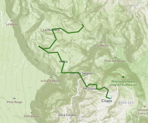
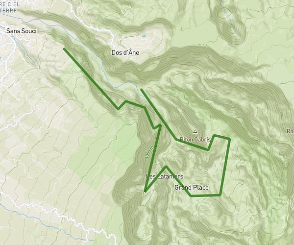
This hiking trail covers 8.0mi starting from Saint-Paul, Reunion. The hike does not return to the trailhead and ends near 21 Chemin Terrain Bleu, 97411, Saint-Paul, Reunion. This hike is rated as strenuous, plan for about 3h to complete it. The route has an elevation gain of 5548ft and an elevation loss of 7188ft.
retour les orangers avec gros sac
Route details
2.67mph
Speed
1536 kcal
Calories burned
30.2%
Avg grade
Point to point
Route type
1542ft
Min altitude
3182ft
Max altitude
Steep climb
Route profile
5548ft
Elevation gain
7188ft
Elevation loss
1542ft
Min altitude
3182ft
Max altitude
How to get there
Trailhead: 97411, Îlet des Orangers, Saint-Paul, Reunion
GPS coordinates of the trailhead: -21.042484, 55.392206 / 21°2'32'' S, 55°23'31'' E