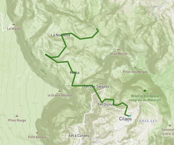
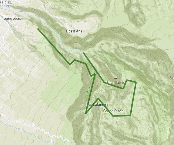
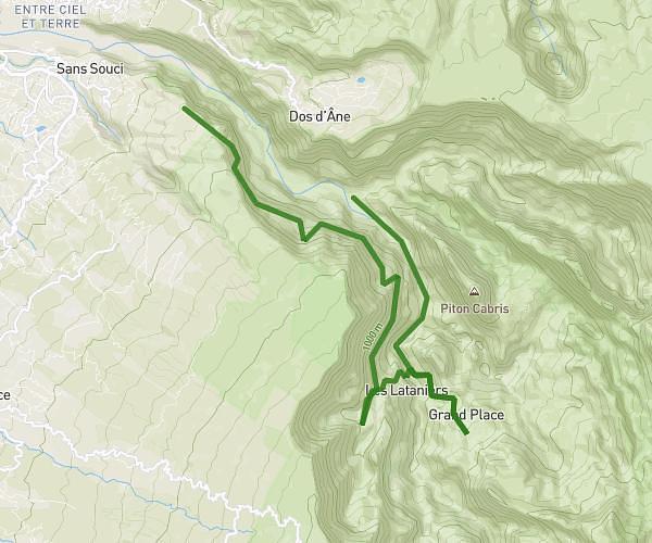
This hiking trail covers 23.383mi starting from Saint-Paul, Reunion. The hike does not return to the trailhead and ends near Canalisation Des Orangers, 97411, Saint-Paul, Reunion. This hike is rated as strenuous, plan for about 13h15m to complete it. The route has an elevation gain of 8166ft and an elevation loss of 7169ft.
Sortie Bivouac Solo 2 nuit Latanier + orangers
Route details
1.76mph
Speed
6178 kcal
Calories burned
12.4%
Avg grade
Point to point
Route type
1473ft
Min altitude
3432ft
Max altitude
Steep climb
Route profile
8166ft
Elevation gain
7169ft
Elevation loss
1473ft
Min altitude
3432ft
Max altitude
How to get there
Trailhead: 171 Chemin Des Orangers, 97460, Saint-Paul, Reunion
GPS coordinates of the trailhead: -20.979861, 55.346051 / 20°58'47'' S, 55°20'45'' E