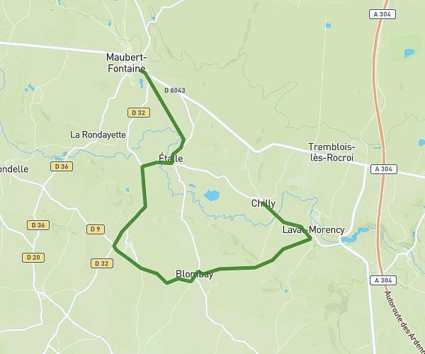
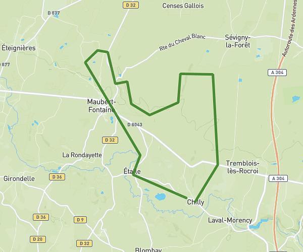
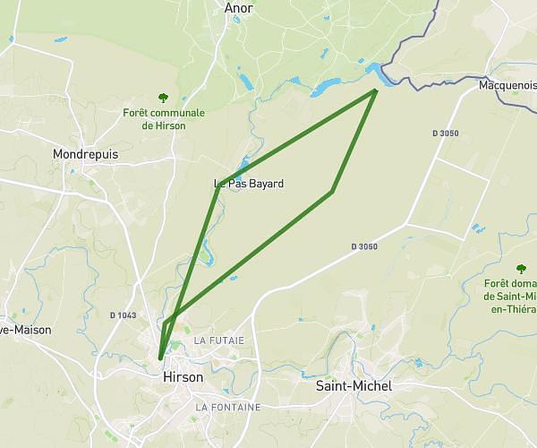
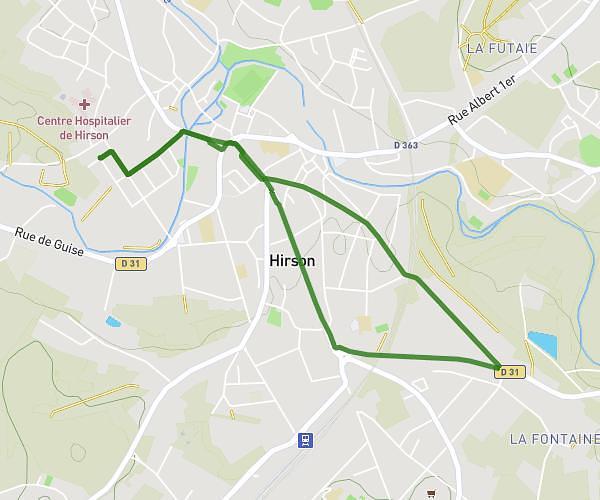
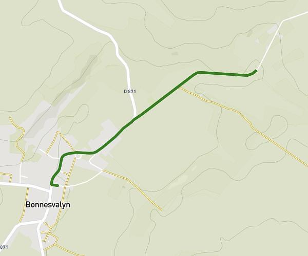
This running route covers 16.834mi starting from Parfondeval, Aisne. The run does not return to the trailhead and ends near 3 Rue Du Tour De Ville, 02250 Bosmont-sur-Serre, France. This run is rated as strenuous, expect about 2h43m to complete it. The route has an elevation gain of 0ft and an elevation loss of 381ft.
Demi marathon fortifiée
Route details
6.2mph
Speed
1864 kcal
Calories burned
Point to point
Route type
318ft
Min altitude
699ft
Max altitude
Route profile
0ft
Elevation gain
381ft
Elevation loss
318ft
Min altitude
699ft
Max altitude
How to get there
Trailhead: 6 Rue Principale, 02360 Parfondeval, France
GPS coordinates of the trailhead: 49.73908, 4.15994 / 49°44'20'' N, 4°9'35'' E