This running route covers 8.407mi starting from Riehen, Basel-Stadt. The run does not return to the trailhead and ends near Birkenweg 1, 79540 Lörrach, Germany. This run is rated as hard, expect about 1h30m to complete it. The route has an elevation gain of 1312ft and an elevation loss of 1604ft.
Inzlingen
Route details
5.59mph
Speed
1031 kcal
Calories burned
Point to point
Route type
984ft
Min altitude
1591ft
Max altitude
Route profile
1312ft
Elevation gain
1604ft
Elevation loss
984ft
Min altitude
1591ft
Max altitude
How to get there
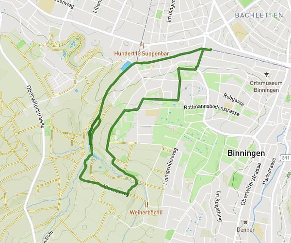
Trailhead: Maienbühlweg 2, 4125 Riehen, Switzerland
GPS coordinates of the trailhead: 47.590099, 7.673642 / 47°35'24'' N, 7°40'25'' E