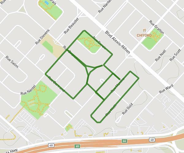
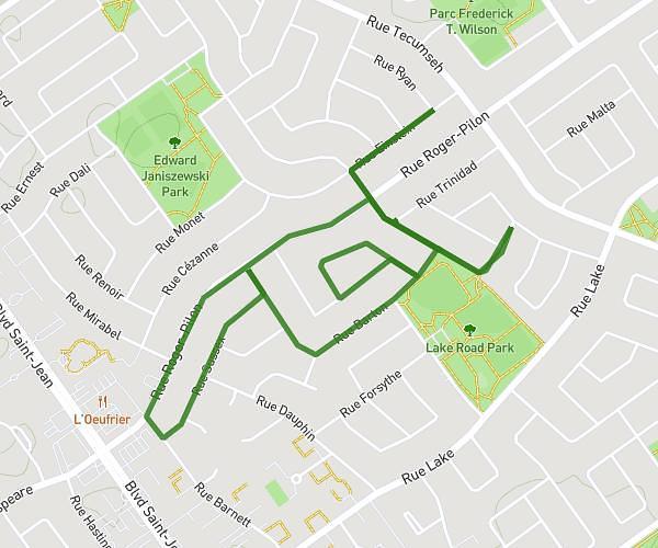
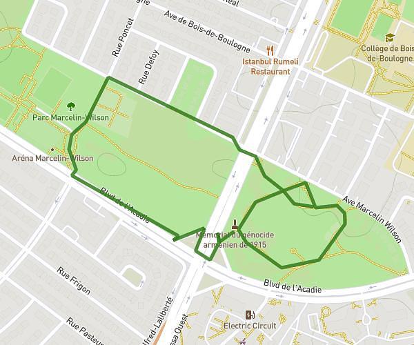
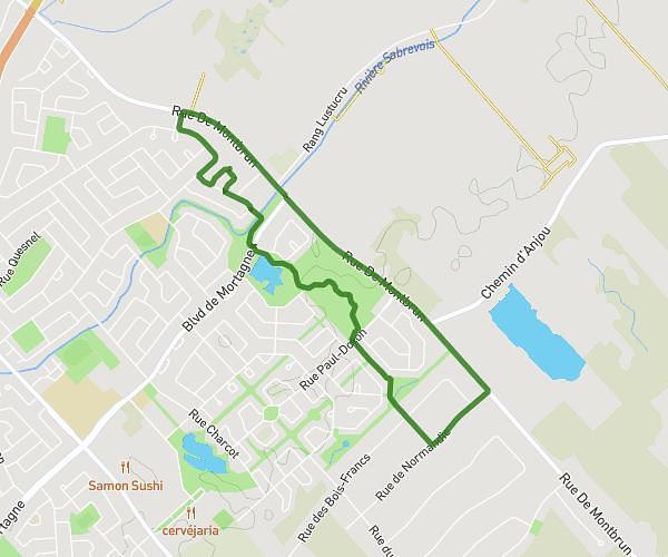
This walking route covers 15.163mi starting from Dorval, Quebec. The walk does not return to the trailhead and ends near 6366 Rue Saint-Denis, Montréal, Quebec H2S 2R7, Canada. This walk is rated as strenuous, plan for about 8h8m to complete it. The route has an elevation gain of 568ft and an elevation loss of 430ft.
Canal lachine avec loulou
Route details
32:11/mi
Pace
1993 kcal
Calories burned
Point to point
Route type
49ft
Min altitude
226ft
Max altitude
Route profile
568ft
Elevation gain
430ft
Elevation loss
49ft
Min altitude
226ft
Max altitude
How to get there
Trailhead: 80 Chemin Du Bord-Du-Lac - Lakeshore Drive, Dorval, Quebec H9S 2A2, Canada
GPS coordinates of the trailhead: 45.44016, -73.72251 / 45°26'24'' N, 73°43'21'' W