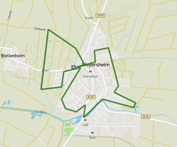
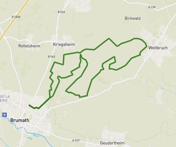
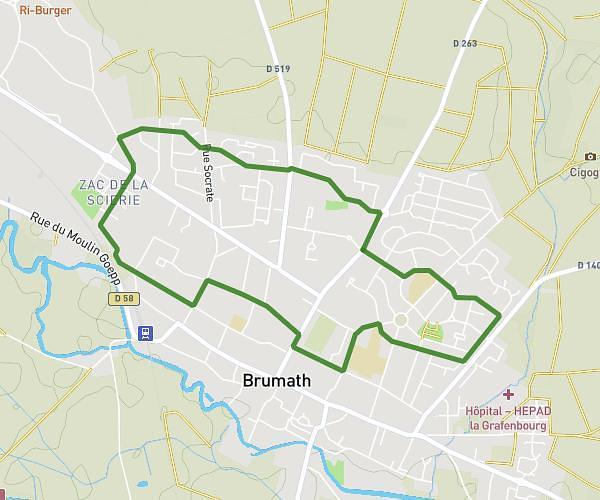
This running route covers 6.633mi starting from Gambsheim, Bas-Rhin. The run is a loop trail and returns to the trailhead. This run is rated as moderate, expect about 1h4m to complete it. The route has an elevation gain of 10ft and an elevation loss of 10ft.
10.675km
Route details
6.22mph
Speed
732 kcal
Calories burned
Loop trail
Route type
413ft
Min altitude
423ft
Max altitude
Route profile
10ft
Elevation gain
10ft
Elevation loss
413ft
Min altitude
423ft
Max altitude
How to get there
Trailhead: 1 Rue Des Tisserands, 67760 Gambsheim, France
GPS coordinates of the trailhead: 48.68873, 7.88656 / 48°41'19'' N, 7°53'11'' E