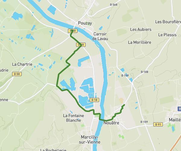
Explore this hiking route of 14.36km starting from Crissay-sur-Manse, Indre-et-Loire. The hike is a loop and returns to the starting point. This hike is rated as easy, plan for about 3h48m to complete it. The route has a positive elevation gain of 174m and a negative elevation loss of 167m.
Crissay-Avon les Roches
Route details
Route profile
174m
Elevation +
167m
Elevation -
55m
Min altitude
113m
Max altitude
How to get there
Route starting point: Rue De L'église, 37220 Crissay-sur-Manse
GPS coordinates of the starting point: 47.14786, 0.48655 / 47°8'52'' N, 0°29'11'' E
Calculate the time to reach the starting point from your location or an address