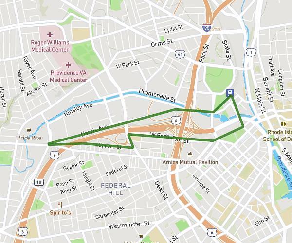
This walking route covers 6.17mi starting from Fall River, Massachusetts. The walk is a loop trail and returns to the trailhead. This walk is rated as hard, plan for about 2h to complete it. The route has an elevation gain of 476ft and an elevation loss of 476ft.
Steve 6mile
Route details
19:26/mi
Pace
490 kcal
Calories burned
Loop trail
Route type
23ft
Min altitude
262ft
Max altitude
Route profile
476ft
Elevation gain
476ft
Elevation loss
23ft
Min altitude
262ft
Max altitude
How to get there
Trailhead: Bay Street, 02724 Fall River
GPS coordinates of the trailhead: 41.67894, -71.18953 / 41°40'44'' N, 71°11'22'' W