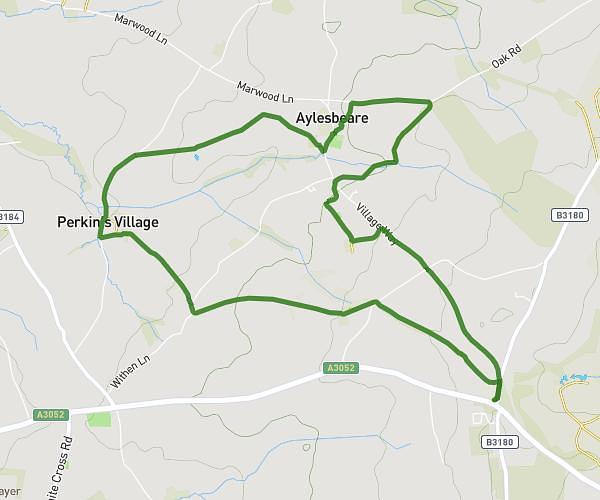
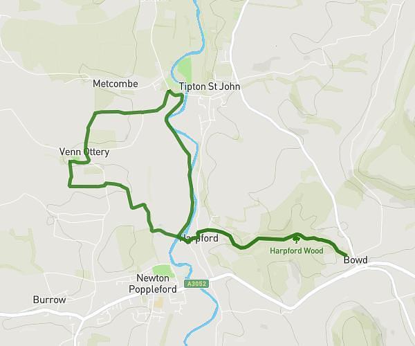
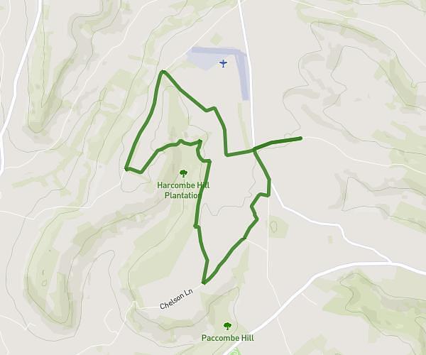
This hiking trail covers 5.701mi starting from Tiverton, England. The hike is a loop trail and returns to the trailhead. This hike is rated as moderate, plan for about 1h40m to complete it. The route has an elevation gain of 610ft and an elevation loss of 610ft.
Fire beacon walk
Route details
3.42mph
Speed
724 kcal
Calories burned
4.1%
Avg grade
Loop trail
Route type
269ft
Min altitude
709ft
Max altitude
Route profile
610ft
Elevation gain
610ft
Elevation loss
269ft
Min altitude
709ft
Max altitude
How to get there
Trailhead: 16 Rooks Way, Tiverton, EX16 6XJ, United Kingdom
GPS coordinates of the trailhead: 50.9141, -3.47457 / 50°54'50'' N, 3°28'28'' W