MapPlanner
4.99mi
Distance
2h30m
Duration
+436ft
Elevation gain
-436ft
Elevation loss
Easy
Level

Aylesbeare

Route details

1.99mph
Speed
1079 kcal
Calories burned
3.3%
Avg grade
Loop trail
Route type
190ft
Min altitude
509ft
Max altitude

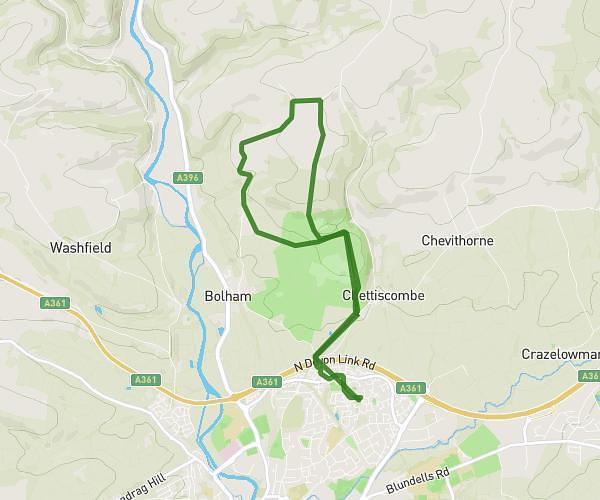
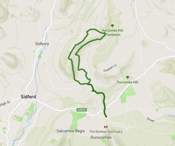
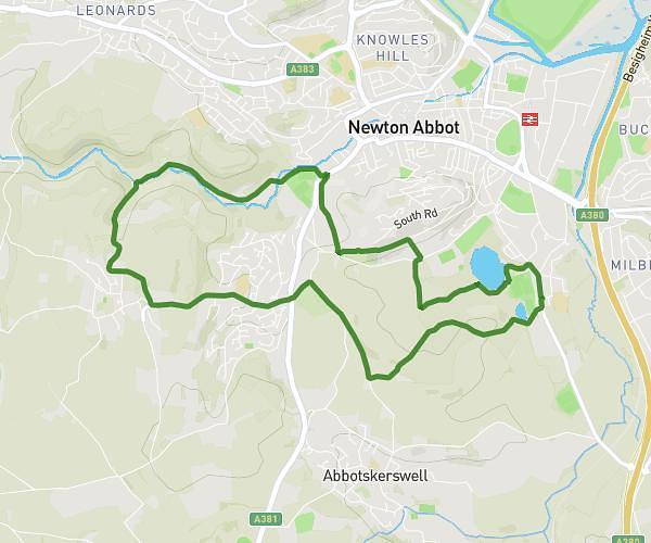
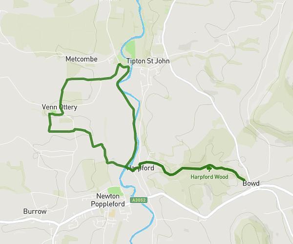
This hiking trail covers 4.99mi starting from Exeter, England. The hike is a loop trail and returns to the trailhead. This hike is rated as easy, plan for about 2h30m to complete it. The route has an elevation gain of 436ft and an elevation loss of 436ft.

Route profile

436ft
Elevation gain
436ft
Elevation loss
190ft
Min altitude
509ft
Max altitude

How to get there

Trailhead: Halfway Inn, EX5 2JP Exeter

GPS coordinates of the trailhead: 50.70613, -3.34992 / 50°42'22'' N, 3°20'59'' W

Caution: May Cross Private Property

This route may pass through or near private property. Always respect posted signs, obtain permission where required, and follow local trespassing laws. MapPlanner does not guarantee public access along any route.

Safety Notice

Trail and road conditions may change without notice due to weather, construction, or other factors. Always verify current conditions before heading out. You are responsible for your own safety — follow local signage, obey traffic laws, and use your best judgment on the trail.