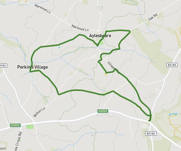
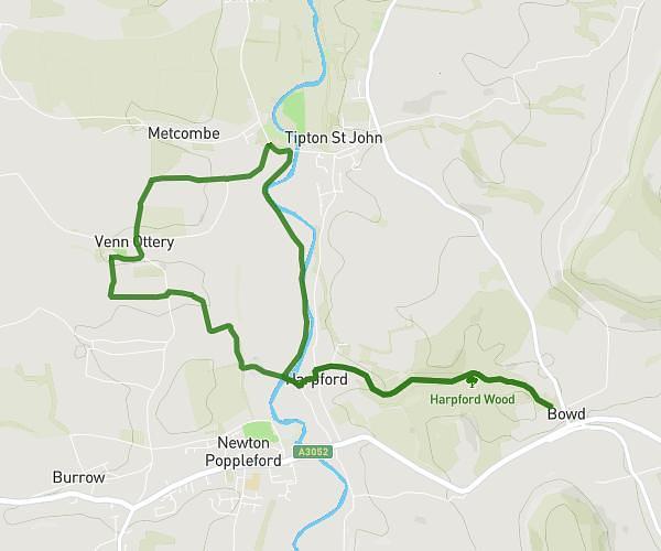
This hiking trail covers 5.762mi starting from Sidmouth, England. The hike is a loop trail and returns to the trailhead. This hike is rated as hard, plan for about 2h40m to complete it. The route has an elevation gain of 1142ft and an elevation loss of 1142ft.
Donkey Sanctuary
Route details
2.16mph
Speed
1190 kcal
Calories burned
7.5%
Avg grade
Loop trail
Route type
217ft
Min altitude
659ft
Max altitude
Route profile
1142ft
Elevation gain
1142ft
Elevation loss
217ft
Min altitude
659ft
Max altitude
How to get there
Trailhead: Northern Lane, EX10 0PL Sidmouth
GPS coordinates of the trailhead: 50.6978, -3.18996 / 50°41'52'' N, 3°11'23'' W