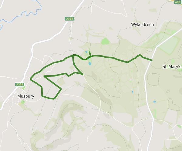
This hiking trail covers 2.989mi starting from Axminster, England. The hike is a loop trail and returns to the trailhead. This hike is rated as easy, plan for about 1h12m to complete it. The route has an elevation gain of 318ft and an elevation loss of 318ft.
Musbury, DEVON
Route details
2.49mph
Speed
521 kcal
Calories burned
4.0%
Avg grade
Loop trail
Route type
39ft
Min altitude
223ft
Max altitude
Route profile
318ft
Elevation gain
318ft
Elevation loss
39ft
Min altitude
223ft
Max altitude
How to get there
Trailhead: The Street, EX13 8AP Axminster
GPS coordinates of the trailhead: 50.74687, -3.0327 / 50°44'48'' N, 3°1'57'' W