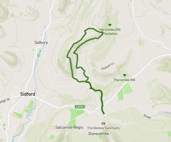
This hiking trail covers 4.035mi starting from Axminster, England. The hike does not return to the trailhead and ends near Trinity Hill Road, EX13 5SS Axminster. This hike is rated as moderate, plan for about 2h9m to complete it. The route has an elevation gain of 1020ft and an elevation loss of 515ft.
Trill
Route details
1.86mph
Speed
982 kcal
Calories burned
7.2%
Avg grade
Point to point
Route type
125ft
Min altitude
666ft
Max altitude
Route profile
1020ft
Elevation gain
515ft
Elevation loss
125ft
Min altitude
666ft
Max altitude
How to get there
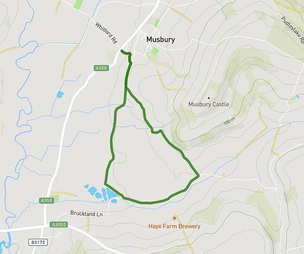
Trailhead: Pudleylake Road, EX13 8TU Axminster
GPS coordinates of the trailhead: 50.75668, -3.00668 / 50°45'24'' N, 3°0'24'' W