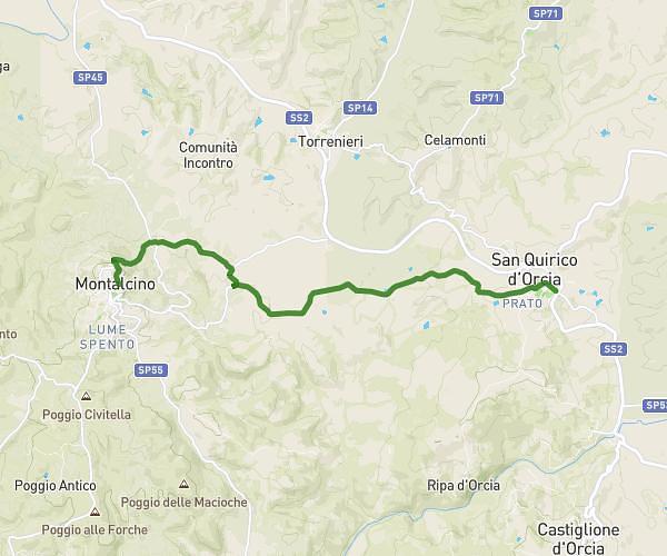
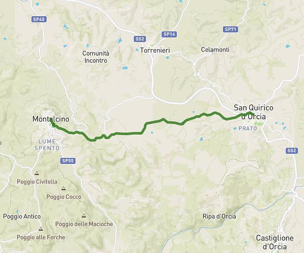
This hiking trail covers 11.822mi starting from Montepulciano, Siena. The hike does not return to the trailhead and ends near Via Giuseppe Garibaldi 30, 53027 San Quirico d'Orcia Siena, Italy. This hike is rated as hard, plan for about 7h13m to complete it. The route has an elevation gain of 1375ft and an elevation loss of 1978ft.
Montepulciano-Pienza-San Quirico
Route details
1.64mph
Speed
3142 kcal
Calories burned
5.4%
Avg grade
Point to point
Route type
997ft
Min altitude
1988ft
Max altitude
Route profile
1375ft
Elevation gain
1978ft
Elevation loss
997ft
Min altitude
1988ft
Max altitude
How to get there
Trailhead: Vicolo Danesi, 53045 Montepulciano Siena, Italy
GPS coordinates of the trailhead: 43.09264, 11.78074 / 43°5'33'' N, 11°46'50'' E