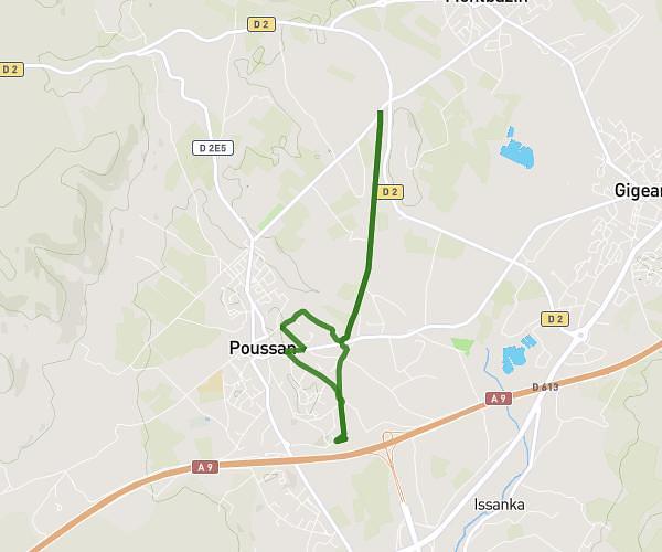
This running route covers 3.178mi starting from Montpellier, Hérault. The run does not return to the trailhead and ends near 165 Avenue Du Père Soulas, 34090 Montpellier, France. This run is rated as easy, expect about 32m to complete it. The route has an elevation gain of 59ft and an elevation loss of 39ft.
S1 Maison-Aeri
Route details
5.96mph
Speed
366 kcal
Calories burned
Point to point
Route type
92ft
Min altitude
151ft
Max altitude
Route profile
59ft
Elevation gain
39ft
Elevation loss
92ft
Min altitude
151ft
Max altitude
How to get there
Trailhead: 80 Avenue De Castelnau, 34090 Montpellier, France
GPS coordinates of the trailhead: 43.625539, 3.888652 / 43°37'31'' N, 3°53'19'' E