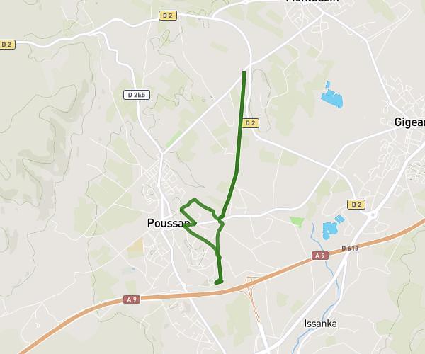
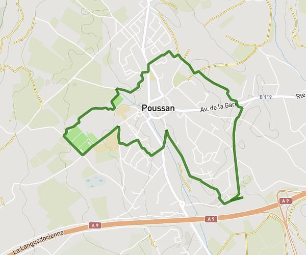
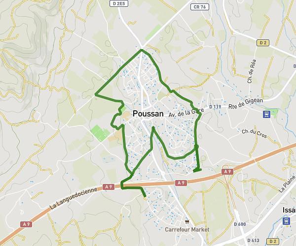
This running route covers 6.954mi starting from Montpellier, Hérault. The run is a loop trail and returns to the trailhead. This run is rated as moderate, expect about 1h15m to complete it. The route has an elevation gain of 453ft and an elevation loss of 453ft.
abc
Route details
5.56mph
Speed
858 kcal
Calories burned
Loop trail
Route type
46ft
Min altitude
246ft
Max altitude
Route profile
453ft
Elevation gain
453ft
Elevation loss
46ft
Min altitude
246ft
Max altitude
How to get there
Trailhead: 82 Avenue De Castelnau, 34090 Montpellier, France
GPS coordinates of the trailhead: 43.62562, 3.888713 / 43°37'32'' N, 3°53'19'' E