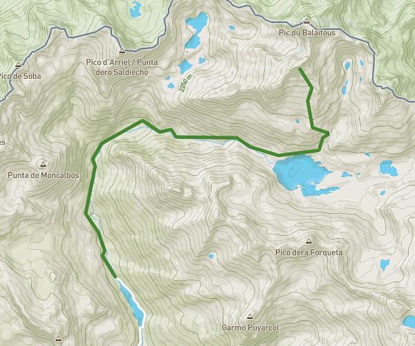
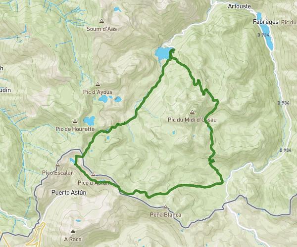
This hiking trail covers 3.317mi starting from Béost, Pyrénées-Atlantiques. The hike does not return to the trailhead and ends near D 918, 64440 Béost, France. This hike is rated as hard, plan for about 2h48m to complete it. The route has an elevation gain of 1798ft and an elevation loss of 1900ft.
20250703_Atour du Col d'Aubisque
Route details
1.18mph
Speed
1380 kcal
Calories burned
21.1%
Avg grade
Point to point
Route type
5689ft
Min altitude
6604ft
Max altitude
Steep climb
Route profile
1798ft
Elevation gain
1900ft
Elevation loss
5689ft
Min altitude
6604ft
Max altitude
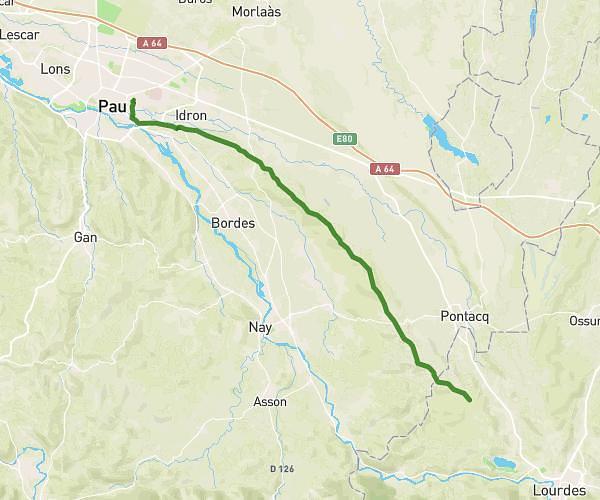
How to get there
Trailhead: D 918, 64440 Béost, France
GPS coordinates of the trailhead: 42.97593, -0.33943 / 42°58'33'' N, 0°20'21'' W