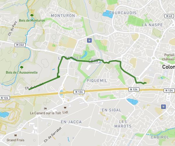
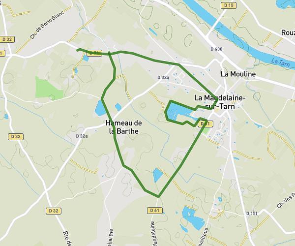
This walking route covers 2.511mi starting from Pechbonnieu, Haute-Garonne. The walk does not return to the trailhead and ends near 45 Route De Gratentour, 31140 Pechbonnieu, France. This walk is rated as easy, plan for about 2h to complete it. The route has an elevation gain of 184ft and an elevation loss of 203ft.
Iti forêt Montberon
Route details
47:48/mi
Pace
490 kcal
Calories burned
Point to point
Route type
509ft
Min altitude
617ft
Max altitude
Route profile
184ft
Elevation gain
203ft
Elevation loss
509ft
Min altitude
617ft
Max altitude
How to get there
Trailhead: 4 Impasse De Lisbonne, 31140 Pechbonnieu, France
GPS coordinates of the trailhead: 43.71088, 1.46307 / 43°42'39'' N, 1°27'47'' E