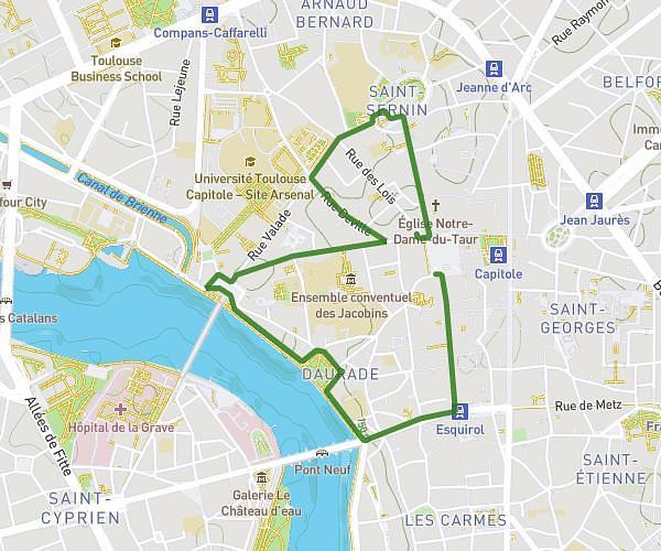
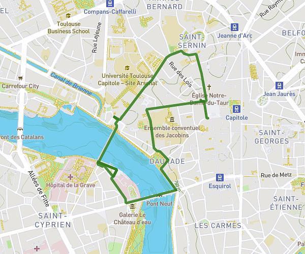
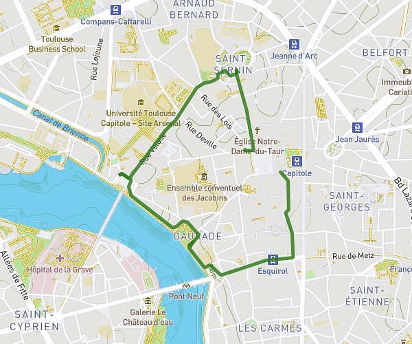
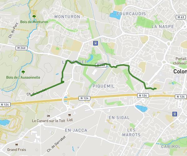
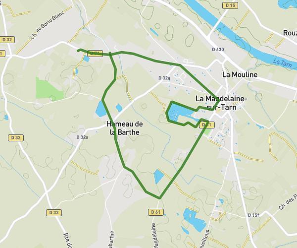
This walking route covers 2.34mi starting from Toulouse, Haute-Garonne. The walk is a loop trail and returns to the trailhead. This walk is rated as easy, plan for about 2h to complete it. The route has an elevation gain of 272ft and an elevation loss of 272ft.
Iti Pech David
Route details
51:22/mi
Pace
490 kcal
Calories burned
Loop trail
Route type
666ft
Min altitude
856ft
Max altitude
Route profile
272ft
Elevation gain
272ft
Elevation loss
666ft
Min altitude
856ft
Max altitude
How to get there
Trailhead: 14 Chemin Du Vallon, 31400 Toulouse, France
GPS coordinates of the trailhead: 43.55206, 1.45166 / 43°33'7'' N, 1°27'5'' E