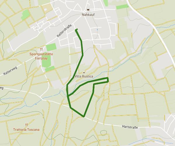
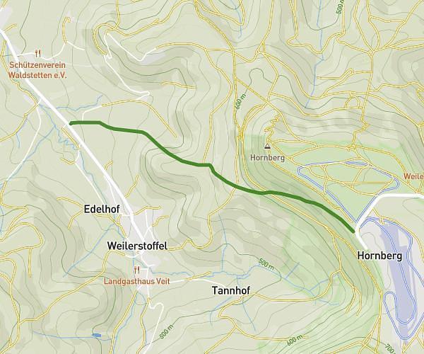
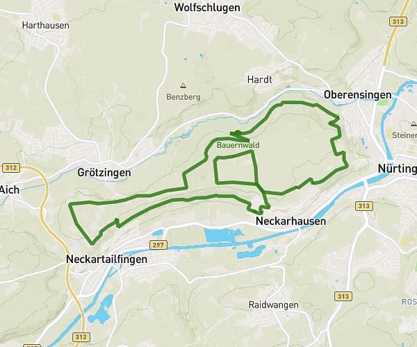
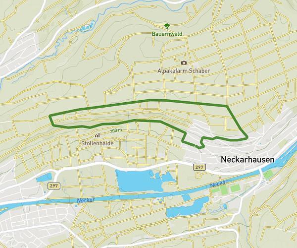
This running route covers 2.38mi starting from Göppingen, Baden-Württemberg. The run is a loop trail and returns to the trailhead. This run is rated as easy, expect about 7s to complete it. The route has an elevation gain of 102ft and an elevation loss of 102ft.
Micha3
Route details
1223.48mph
Speed
1 kcal
Calories burned
Loop trail
Route type
1047ft
Min altitude
1089ft
Max altitude
Route profile
102ft
Elevation gain
102ft
Elevation loss
1047ft
Min altitude
1089ft
Max altitude
How to get there
Trailhead: Jahnstraße 133, 73037 Göppingen, Germany
GPS coordinates of the trailhead: 48.697137, 9.665505 / 48°41'49'' N, 9°39'55'' E