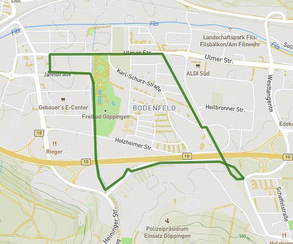
This running route covers 1.25mi starting from Waldstetten, Baden-Württemberg. The run does not return to the trailhead and ends near K 3278, 73529 Schwäbisch Gmünd, Germany. This run is rated as easy, expect about 13m to complete it. The route has an elevation gain of 850ft and an elevation loss of 0ft.
Sauren
Route details
5.77mph
Speed
149 kcal
Calories burned
Point to point
Route type
1365ft
Min altitude
2215ft
Max altitude
Route profile
850ft
Elevation gain
0ft
Elevation loss
1365ft
Min altitude
2215ft
Max altitude
How to get there
Trailhead: Waldstetter Straße, 73550 Waldstetten, Germany
GPS coordinates of the trailhead: 48.753572, 9.833577 / 48°45'12'' N, 9°50'0'' E