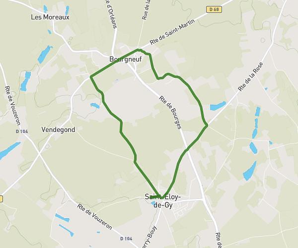
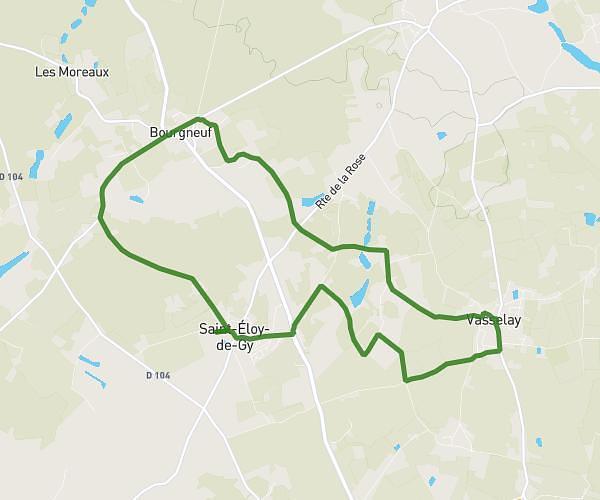
This cycling route covers 57.646mi starting from Bourges, Cher. The ride does not return to the trailhead and ends near Avenue Ernest Renan, 18000 Bourges. This route is rated as strenuous, plan for about 5h48m to complete it. The route has an elevation gain of 102ft and an elevation loss of 141ft.
Test
Route details
3046 kcal
Calories burned
0.1%
Avg grade
Point to point
Route type
443ft
Min altitude
558ft
Max altitude
Route profile
102ft
Elevation gain
141ft
Elevation loss
443ft
Min altitude
558ft
Max altitude
How to get there
Trailhead: Avenue Pierre Bérégovoy, 18000 Bourges
GPS coordinates of the trailhead: 47.08371, 2.41956 / 47°5'1'' N, 2°25'10'' E