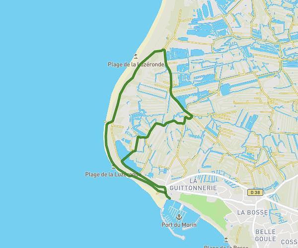
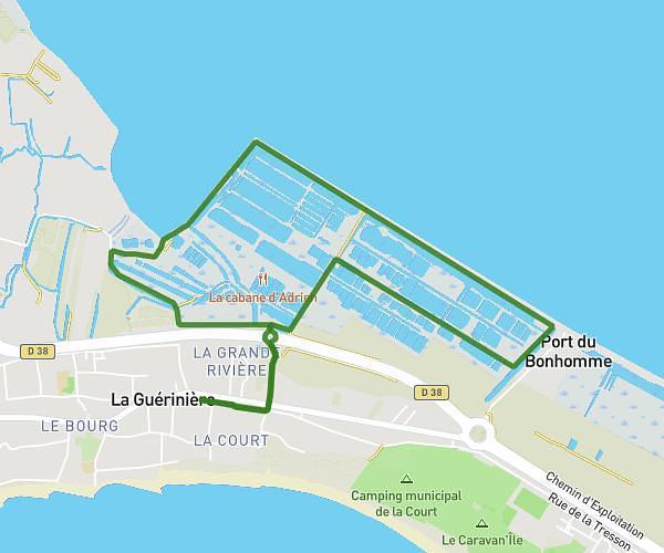
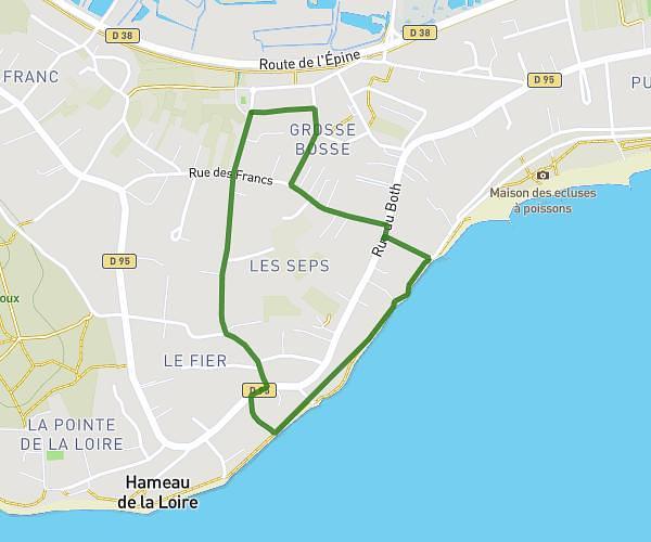
This running route covers 5.663mi starting from L'Île-d'Yeu, Vendée. The run does not return to the trailhead and ends near Rue De La Garde, 85350 L'Île-d'Yeu. This run is rated as moderate, expect about 1h3s to complete it. The route has an elevation gain of 272ft and an elevation loss of 262ft.
Habituel
Route details
5.66mph
Speed
687 kcal
Calories burned
Point to point
Route type
3ft
Min altitude
85ft
Max altitude
Route profile
272ft
Elevation gain
262ft
Elevation loss
3ft
Min altitude
85ft
Max altitude
How to get there
Trailhead: Rue Olivier De Clisson, 85350 L'Île-d'Yeu
GPS coordinates of the trailhead: 46.72765, -2.36478 / 46°43'39'' N, 2°21'53'' W