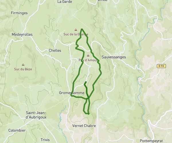
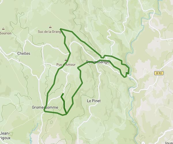
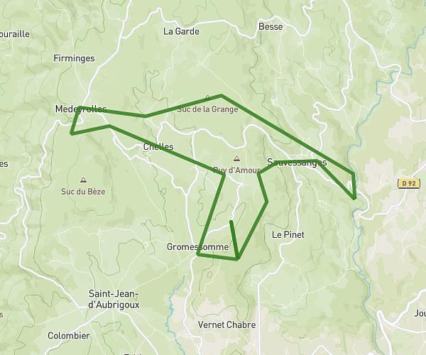
This running route covers 3.08mi starting from Saint-Paulien, Haute-Loire. The run is a loop trail and returns to the trailhead. This run is rated as easy, expect about 33m to complete it. The route has an elevation gain of 98ft and an elevation loss of 92ft.
5 kms idée 4
Route details
5.6mph
Speed
377 kcal
Calories burned
Loop trail
Route type
2598ft
Min altitude
2697ft
Max altitude
Route profile
98ft
Elevation gain
92ft
Elevation loss
2598ft
Min altitude
2697ft
Max altitude
How to get there
Trailhead: 5 Rue Du Docteur Chabanet, 43350 Saint-Paulien, France
GPS coordinates of the trailhead: 45.132185, 3.814446 / 45°7'55'' N, 3°48'52'' E