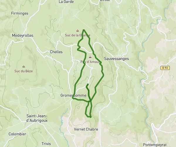
This running route covers 10.421mi starting from Sauvessanges, Puy-de-Dôme. The run is a loop trail and returns to the trailhead. This run is rated as hard, expect about 1h52m to complete it. The route has an elevation gain of 1883ft and an elevation loss of 1883ft.
Trail 17 kms 16/04/26
Route details
5.58mph
Speed
1281 kcal
Calories burned
Loop trail
Route type
2615ft
Min altitude
3560ft
Max altitude
Route profile
1883ft
Elevation gain
1883ft
Elevation loss
2615ft
Min altitude
3560ft
Max altitude
How to get there
Trailhead: 2055 Route De La Montagne, 63840 Sauvessanges, France
GPS coordinates of the trailhead: 45.378918, 3.851798 / 45°22'44'' N, 3°51'6'' E