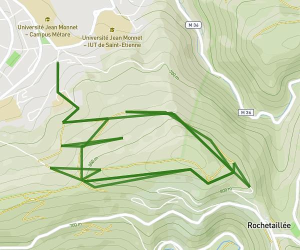
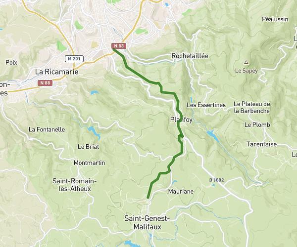
This running route covers 14.623mi starting from Saint-Julien-Molin-Molette, Loire. The run is a loop trail and returns to the trailhead. This run is rated as strenuous, expect about 2h37m to complete it. The route has an elevation gain of 3064ft and an elevation loss of 3071ft.
les foufous
Route details
5.59mph
Speed
1795 kcal
Calories burned
Loop trail
Route type
1932ft
Min altitude
4400ft
Max altitude
Route profile
3064ft
Elevation gain
3071ft
Elevation loss
1932ft
Min altitude
4400ft
Max altitude
How to get there
Trailhead: Chemin Du Bois Du Four, 42220 Saint-Julien-Molin-Molette, France
GPS coordinates of the trailhead: 45.326248, 4.618661 / 45°19'34'' N, 4°37'7'' E