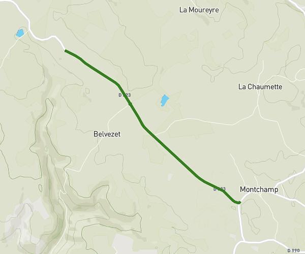
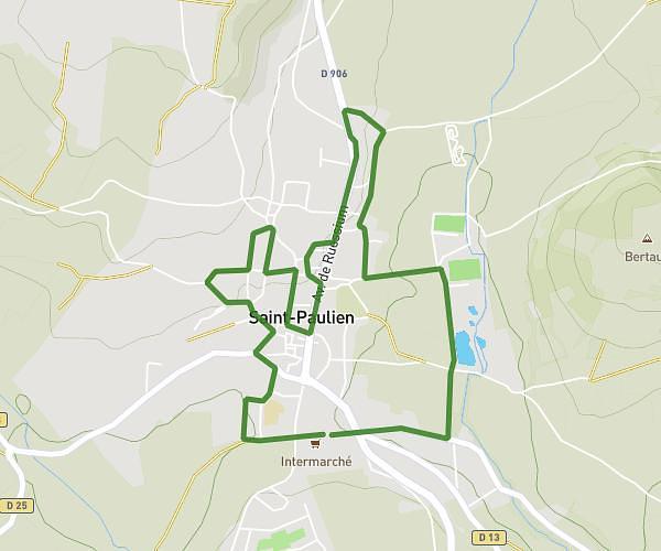
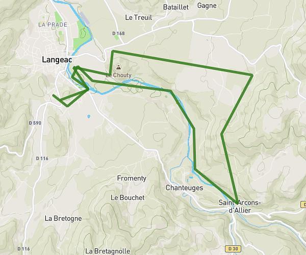
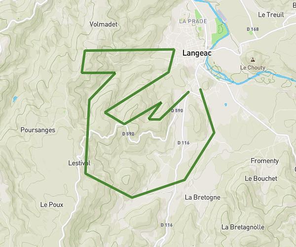
This running route covers 14.012mi starting from Langeac, Haute-Loire. The run does not return to the trailhead and ends near Rue Coursière De Bellevue, 43300 Langeac. This run is rated as strenuous, expect about 2h15m to complete it. The route has an elevation gain of 2582ft and an elevation loss of 2507ft.
Trail Jeudi
Route details
6.23mph
Speed
1544 kcal
Calories burned
Point to point
Route type
1719ft
Min altitude
2871ft
Max altitude
Route profile
2582ft
Elevation gain
2507ft
Elevation loss
1719ft
Min altitude
2871ft
Max altitude
How to get there
Trailhead: Chemin Des Carrières, 43300 Langeac
GPS coordinates of the trailhead: 45.09153, 3.4954 / 45°5'29'' N, 3°29'43'' E