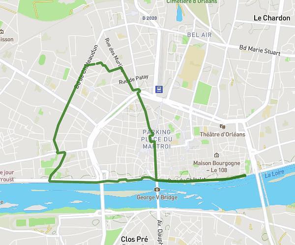
This running route covers 8.961mi starting from Orléans, Loiret. The run is a loop trail and returns to the trailhead. This run is rated as hard, expect about 1h29m to complete it. The route has an elevation gain of 302ft and an elevation loss of 302ft.
St Jean de Braye
Route details
6.04mph
Speed
1018 kcal
Calories burned
Loop trail
Route type
292ft
Min altitude
374ft
Max altitude
Route profile
302ft
Elevation gain
302ft
Elevation loss
292ft
Min altitude
374ft
Max altitude
How to get there
Trailhead: Place Adolphe Cochery, 45000 Orléans
GPS coordinates of the trailhead: 47.9036, 1.88311 / 47°54'12'' N, 1°52'59'' E