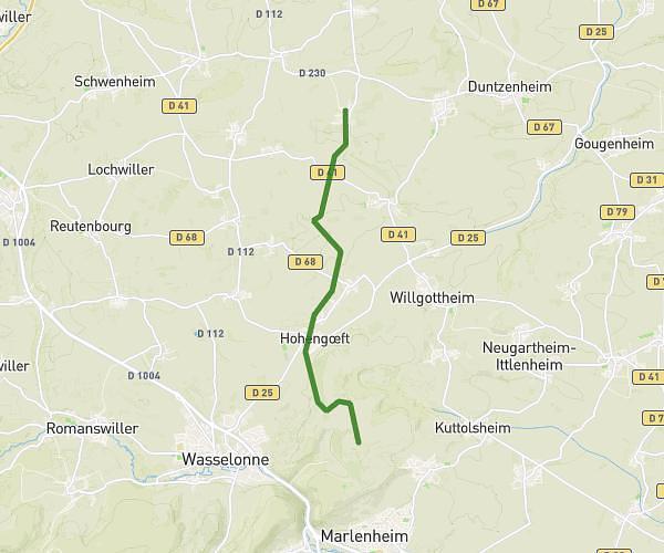
Explore this cycling route of 26.59km starting from Weyer, Bas-Rhin. The ride does not return to the starting point and ends near Rue De La Forêt, 67320 Eschwiller. This route has no defined difficulty level, plan for about 1h40m to complete it. The route has a positive elevation gain of 80m and a negative elevation loss of 72m.
Velo
Route details
Route profile
80m
Elevation +
72m
Elevation -
271m
Min altitude
314m
Max altitude
How to get there
Route starting point: Rue Principale, 67320 Weyer
GPS coordinates of the starting point: 48.85477, 7.16032 / 48°51'17'' N, 7°9'37'' E
Calculate the time to reach the starting point from your location or an address